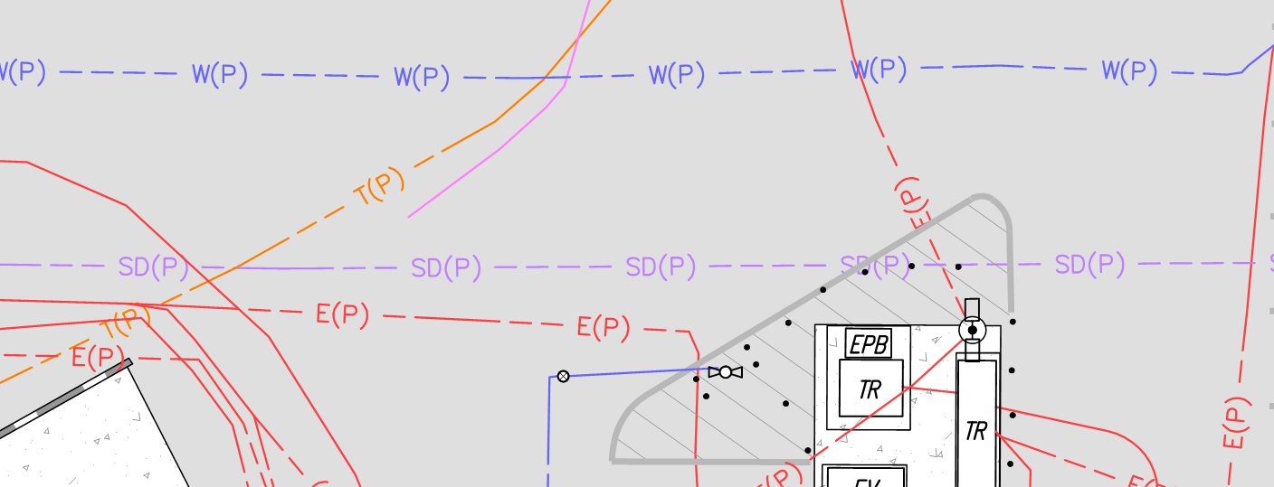
A land survey for utilities, often referred to as an underground utility survey, is essential for accurately mapping the infrastructure below the surface. These surveys identify the locations of underground utilities such as water pipes, gas lines, electrical cables, and telecommunications networks. This information is critical for construction, development projects, and public safety.
When it comes to water utilities, precise underground mapping is vital. Knowing the exact location of water pipes helps prevent accidental damage during excavation or construction, which could lead to costly repairs or project delays. Additionally, underground surveys help ensure the safety of workers and the public by reducing the risk of hitting water mains or other critical infrastructure during projects.
Several advanced techniques are used for underground water utility surveys, including Radio Frequency Location (RFL), which traces metal water pipes, Ground Penetrating System (GPR), and laser scanning, which provides highly detailed maps with survey-grade coordinates and elevation data. These methods give project managers the accurate information they need to plan effectively, avoiding unnecessary risks and delays.
Accurate land surveys not only contribute to project efficiency but also minimize costs by helping construction teams avoid unexpected utility damage. Whether it’s a small development or a large-scale infrastructure project, utility surveys play a crucial role in planning and execution.
Planning a project? Contact Calvada Surveying today to ensure your underground water utilities are mapped accurately and efficiently.
